The sea level was 100 meters lower than it is today.
Between approximately 14,000 and 7,000 years ago, as the last glacial maximum ended and the continental ice sheets melted, the ocean rose steadily across the world’s coastal regions. The rate of rise was not uniform: pulses of rapid increase, driven by the episodic collapse of ice sheets, alternated with periods of relative stability. The Arabian Sea’s coastline retreated inland by hundreds of kilometers over this period, submerging the shallow continental shelves that the Gulf of Cambay and the Gulf of Khambhat had once been.
Whatever existed on those shelves before the water came is now under the sea.
The Archaeological Survey of India has been excavating underwater sites off the coast of Dwarka in Gujarat since 1983, recovering documented physical evidence of human occupation that the post-glacial sea level rise submerged. The coastal excavations at Dwarka and the nearby Bet Dwarka island site have produced fortification walls, anchors, pottery, and structural remains dated by multiple methods to approximately 1500 to 3000 BCE. These findings are in the published archaeological literature, produced by rigorous excavation methodology, and represent the most solidly documented physical evidence for the ancient Dwarka that the Mahabharata describes.
In 2001, the National Institute of Ocean Technology conducted sonar surveys of the Gulf of Cambay and identified features whose geometric regularity was inconsistent with natural seafloor topography. The acoustic images showed rectangular and square formations at depths of approximately 30 to 40 meters whose angles and dimensions suggested architectural rather than geological origin. The Indian government ordered dredging of the area, which recovered material including pottery, human skeletal remains, wood, and stone tools whose carbon dating produced a date of approximately 7,500 BCE.
Whether the Gulf of Cambay sonar features are the architectural remains of a submerged city or are natural geological formations that the dredging happened to recover ancient material near is the contested question that the 2001 discovery left open and that subsequent investigation has not definitively resolved.
Dwarka in the Mahabharata
The Mahabharata is one of the longest epic poems in any literary tradition, estimated at approximately 1.8 million words in its complete form, whose composition spans from approximately 400 BCE to 400 CE but whose narrative material draws on oral traditions significantly older. Its account of Dwarka as Krishna’s capital is recorded across multiple sections of the epic, providing a literary description whose geographical and architectural details can be compared against the archaeological findings.
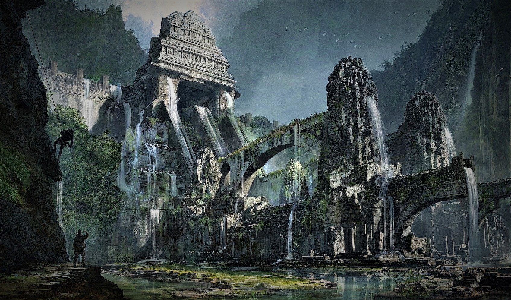
The narrative account of Dwarka’s foundation is specific: after Krishna led his people, the Yadavas, from Mathura following repeated attacks by the king Jarasandha, he established a new city on an island in the western sea. The city was built by the divine architect Vishvakarma on land reclaimed from the sea, with the sea yielding twelve yojanas of land for the city’s construction. The city had towers and walls, a harbor, palaces made of crystal and precious materials, and a population of sufficient size to represent a major urban center.
After Krishna’s death, which the Mahabharata dates to the transition between the Dvapara Yuga and the Kali Yuga, the city was submerged by the sea in fulfillment of a divine curse on Krishna’s clan. Arjuna, Krishna’s companion, is present for the submersion and describes watching the sea advance over the city in a passage that the Mahabharata preserves in the voice of an eyewitness.
The tradition that Dwarka has been submerged and rebuilt six times, making the current coastal city the seventh reconstruction, appears in the Hindu religious tradition associated with the site. This cyclical submersion tradition is consistent with the geological reality of the Gulf of Cambay region: the post-glacial sea level rise would have submerged coastal settlements in multiple phases corresponding to the pulses of rapid rise, and communities rebuilding on newly accessible land during periods of sea level stability would have experienced repeated submergence as each new pulse advanced.
Whether the six previous submersions represent genuine historical memory of the post-glacial sea level rise’s episodic character, theological encoding of a cyclical cosmological framework, or both simultaneously, is the interpretive question that the geological reality of multiple submersion events in the region makes genuinely interesting.
The Archaeological Evidence
The ASI’s Dwarka underwater excavations, conducted by a team led by S.R. Rao of the National Institute of Oceanography, represent the most extensively recorded underwater archaeological investigation of the Dwarka tradition and the most rigorous physical evidence for the site’s ancient occupation.
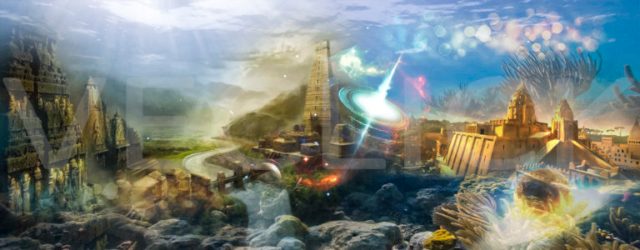
The findings published in the peer-reviewed archaeological literature include: a large L-shaped stone structure identified as a possible fortification wall, dated by thermoluminescence to approximately 1500 BCE, multiple stone anchors of a type used in the Bronze Age maritime trade of the Arabian Sea, pottery assemblages consistent with the Harappan civilization’s late phase, and structural remains whose architecture is consistent with the Mahabharata’s description of a harbor city.
The dating of the coastal Dwarka findings to approximately 1500-3000 BCE is consistent with the period immediately following the most rapid phase of post-glacial sea level rise, when communities would have been able to reoccupy land that the rising sea had recently stabilized. Whether these findings represent the Dwarka described in the Mahabharata depends on when one dates the epic’s narrative events, which ranges from approximately 3100 BCE in the traditional Hindu calendar to approximately 900-1000 BCE in mainstream historical scholarship.
S.R. Rao’s conclusion from the excavations, published in his 1999 book The Lost City of Dvaraka, is that the underwater structures confirm the historicity of the Dwarka tradition in the Mahabharata. The mainstream archaeological community’s response has been more cautious: the structures are real and ancient, but their identification with the Dwarka of the Mahabharata requires interpretive assumptions that go beyond the physical evidence.
The Gulf of Cambay Controversy
The 2001 Gulf of Cambay discovery generated more media coverage than any previous Indian underwater archaeology finding and more controversy in the subsequent peer-reviewed literature than almost any other claimed underwater city discovery.
The dispute between the NIOT’s interpretation and the archaeological community’s response centers on methodology. The NIOT’s sonar survey produced acoustic images that are genuinely anomalous: the geometric regularity of the features, with their consistent right angles and rectangular dimensions, is difficult to explain through purely natural geological processes. The features are there in the sonar data.
The dispute is whether the sonar features represent submerged architectural structures or natural geological formations. The sedimentary and tectonic characteristics of the Gulf of Cambay include river delta deposits, fault-influenced seafloor topography, and erosional features that can produce geometric patterns in acoustic imaging without representing architectural construction.
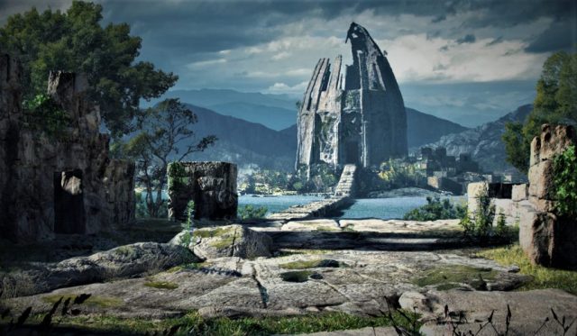
The dredging that recovered ancient material from the survey area does not resolve this dispute because dredging is not controlled excavation. The artifacts recovered, including the wood sample dated to 7,500 BCE, were not recovered in stratigraphic context that would establish their relationship to the sonar features. They may represent material deposited in the area by the multiple rivers that discharge into the Gulf of Cambay, carrying ancient material from inland sites over thousands of years, rather than material from in-situ submerged structures.
The 7,500 BCE wood date is the most significant and most contested finding. If this date reflects genuine organic material from a human occupation site at this location, it would make the Gulf of Cambay site the oldest known human settlement by a margin of several thousand years, predating the Mesopotamian and Indus Valley urban traditions and requiring a complete revision of the conventional chronology of human civilization.
Whether this is what the date reflects depends on the context of the wood sample, which the dredging methodology did not establish in the way that controlled excavation would. The date is real. Its significance depends on what the wood was part of and where it came from, which the available methodology did not determine.
The Sea Level Reality
The most important context for understanding both the Dwarka coastal excavations and the Gulf of Cambay controversy is the recorded geological reality of the post-glacial sea level rise in the Gulf of Cambay region.
Between approximately 14,000 and 6,000 years ago, the sea level in the Gulf of Cambay rose by approximately 100 meters as the post-glacial ice sheets melted. The bathymetry of the Gulf of Cambay, a shallow body of water whose average depth is approximately 25 to 30 meters, means that virtually the entire Gulf was dry land at the last glacial maximum. A land area of approximately 25,000 square kilometers was submerged over this period.
This land was not empty. The Indus Valley civilization, which the dredged artifacts are associated with, developed in exactly the period when the Gulf of Cambay was being progressively submerged. The timing, 7,500 BCE to 3,000 BCE, spans the transition from the early pre-Harappan period to the mature Harappan civilization, and the Gulf of Cambay’s coastline would have been a productive agricultural and maritime zone throughout this period.
Whatever human occupation existed on the land that is now the Gulf of Cambay seafloor was submerged by the same process that submerged the Sundaland civilization covered in this library’s Lemuria piece and the coastal settlements that inspired the global flood traditions. The Gulf of Cambay is not anomalous in having been submerged human territory. It is part of the global pattern of post-glacial submersion that is one of the most significant and least archaeologically investigated aspects of early human civilization.
Whether the Gulf of Cambay sonar features are genuine architectural remains of this submerged civilization, or natural geological features in an area that happened to contain dredgeable ancient artifacts, is the question that only controlled underwater excavation using rigorous archaeological methodology can answer.
That excavation has not been conducted. The features are in the sonar data. The artifacts are in the museum. The sea level rise is in the geological record.
Whether Dwarka is down there waiting to be found, or whether the city the Mahabharata describes exists only in the coastal findings that the ASI has already documented, is the question that the Gulf of Cambay leaves open in exactly the way that the most interesting archaeological questions always do: with enough evidence to make dismissal intellectually dishonest and not enough to make confirmation scientifically justified.
Lemuria and Mu raise a similar question at a larger scale. Geologists have confirmed that continents disappear. Whether anyone was living on them is a separate, still open question.