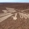

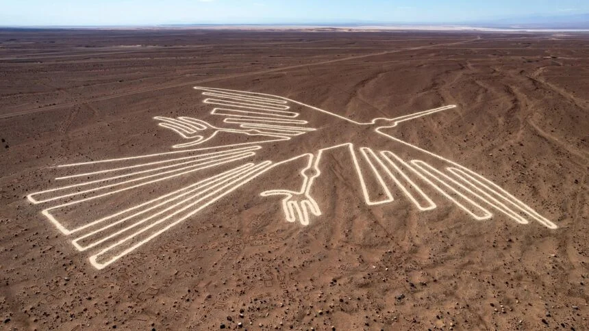
Roughly 300 animal figures and hundreds of geometric lines stretch across Peru’s Nazca Desert, some running for miles with astonishing precision. The people who made them left no writing explaining why, possessed no wheeled surveying equipment, and never saw the finished designs from the air.
The remarkable question isn’t whether aliens helped build them. It’s how a culture working entirely from ground level solved an engineering problem that still surprises mathematicians today.
Finding the Lines Twice
The lines were effectively rediscovered twice, once on foot and once from the air, and the gap between those two discoveries says something about why they went unrecognized for so long. Peruvian archaeologist Toribio Mejía Xesspe was the first to systematically document them, hiking across the desert in 1927 and noting what he assumed were ceremonial pathways, since from ground level, most of the largest figures simply don’t read as figures at all. It wasn’t until commercial air travel expanded over the region in the 1930s that pilots began reporting strange, deliberate-looking patterns below, and the true scale of what was down there became apparent.
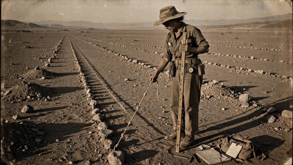
American historian Paul Kosok arrived in the 1940s to study the lines seriously, and after observing a sunset align precisely with one of them on the June solstice, he called Nazca “the largest astronomy book in the world,” a phrase that shaped decades of subsequent research. Kosok was joined shortly after by Maria Reiche, a German-born mathematician who had come to Peru as a technical translator and governess. Reiche would spend the next fifty years of her life almost entirely on this problem, working alone, funding her own research, and eventually lobbying the Peruvian government to protect the site after a construction crew building the Pan-American Highway sliced directly through one of the largest figures. She’s remembered locally as the “Lady of the Lines,” and the bulk of what’s actually known about how the geoglyphs were built traces directly back to her fieldwork.
What Reiche Actually Found on the Ground
This is the part of the story that tends to get skipped in favor of speculation, and it’s the most important part. Reiche didn’t just theorize about construction methods, she found physical evidence of them, still visible in the desert today. Near several of the largest figures, she documented small preliminary plots, roughly six feet square, containing miniature versions of the same designs found nearby at full scale. These weren’t decorative. They were working drawings, the ancient equivalent of a scale model, and their survival in the same arid conditions that preserved everything else at Nazca gives researchers a direct, physical link between a small sketch and its full-sized execution.
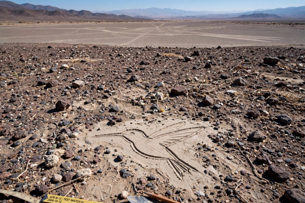
From these plots, Reiche worked out the basic mechanics. Straight lines, some running for kilometers with only minor deviation, could be produced by stretching cord between two staked points and walking the distance out, section by section, resetting the stakes as needed. Circles and the smooth curves that make up the animal figures could be scribed the same way a compass works, a cord anchored to a central stake, swept through its arc. Archaeologists have since recovered wooden stakes still standing at the terminus of several lines, and radiocarbon dating on one of them helped anchor the chronology of the wider site. None of this required metal tools, wheels, or writing. It required rope, wood, open ground, and a working knowledge of a specific mathematical idea.
The Actual Mathematics Involved
The underlying idea is surprisingly simple. If every point on a small drawing is moved outward from a fixed center by exactly the same proportion, the entire figure grows larger without changing shape. The specific technique Reiche described, scaling a small design up to a much larger one while preserving its exact proportions, has a name in modern geometry: homothety, a transformation that enlarges a figure from a fixed center point by a constant ratio, provable through what’s called the intercept theorem. In practice, it means measuring the distance from a center line to any point on a small drawing, then walking out that same ratio, multiplied by a constant scale factor, on the full-sized field. Do this for enough points along the outline, connect them, and a six-foot sketch becomes a nine-hundred-foot condor without ever needing to see the whole shape at once.
That’s a genuinely sophisticated piece of applied geometry for a culture with no written numeral system, and it’s worth sitting with what it implies. Executing this method correctly across a shape as complex as the Nazca monkey or the hummingbird required the builders to understand ratio and proportion well enough to apply them consistently across dozens or hundreds of individual measurements, to hold a stable sense of angle and direction without any distant fixed reference point, and to coordinate that work across a large working crew over multiple days, all without being able to check their progress from above at any point in the process. TThe lines aren’t evidence of lost technology. They’re evidence that sophisticated mathematics doesn’t require sophisticated machinery. They’re evidence of a culture that had fully internalized a piece of mathematics most people today only encounter in a geometry classroom, and had turned it into a practiced, transmissible craft.
Testing the Theory With Sticks and Rope
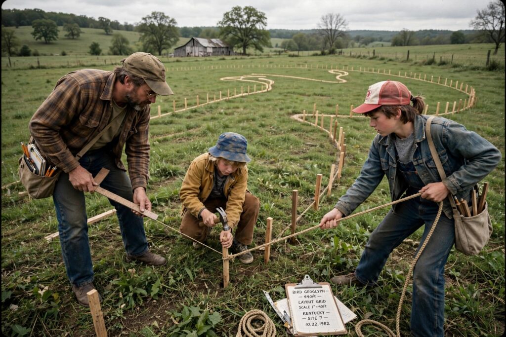
Reiche’s reconstruction didn’t stay theoretical for long. In 1982, researcher Joe Nickell, then affiliated with the University of Kentucky, set out to test it directly by building a full-sized geoglyph using nothing but tools the Nazca themselves would have had access to. His crew was about as far from a specialized engineering team as it’s possible to get: a handful of relatives, including his young cousin and an eleven-year-old nephew. Working from a small-scale drawing, a knotted rope, wooden stakes, and a simple T-square built from two pieces of wood, the team laid out a full-sized, four-hundred-and-forty-foot reproduction of the Nazca condor in a Kentucky field in roughly a day and a half, most of that lost to rain delays.
National Geographic, reviewing the result, called it remarkable in its exactness compared to the original. Nickell himself was careful about what the experiment did and didn’t prove, writing afterward that his own reproduction was likely more symmetrical than some of the actual Nazca figures, suggesting the original builders plotted somewhat fewer reference points and relied more on visual estimation and practiced freehand work than his own more methodical process had. That’s an important nuance: the Nazca weren’t executing a rigid, mechanical algorithm. They were applying a learned mathematical principle with the kind of fluency that comes from repetition, not painstaking, first-time calculation.
One assumption baked into a lot of popular retellings is also worth a direct correction here. Nickell pointed out something worth taking seriously: several of the Nazca figures are at least partially recognizable from nearby foothills and elevated ground, not exclusively from a plane. That doesn’t resolve the whole puzzle, many of the largest and most complex figures genuinely can’t be read from any ground-level position, but it softens one of the most repeated claims about the site, that the builders worked entirely blind with no way to ever see what they’d made.
Why They Were Actually Built
The purpose question remains more open than the construction question, and it’s also the question the newest research has done the most to reshape. In September 2024, a joint team from Yamagata University’s Nazca Institute and IBM Research, led by professor Masato Sakai, published a study in the Proceedings of the National Academy of Sciences describing how they trained an AI model on aerial imagery to flag likely geoglyph locations for field verification. In six months, the approach identified 303 previously undocumented figurative geoglyphs, a sixteenfold increase in the pace of discovery over a century of conventional survey work. A follow-up survey announced in July 2025 added 248 more, bringing the confirmed figurative total to 893.

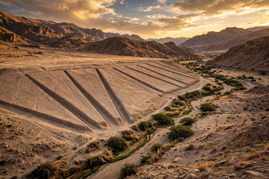
The new finds matter because of what they revealed about function, not just quantity. Sakai’s team found the newly discovered geoglyphs fall into two distinct types: large, line-built figures depicting wild animals, positioned along an elaborate network of trails and trapezoids and likely tied to community-level ritual gatherings, and smaller, relief-carved figures depicting humanoid and domesticated subjects, positioned close enough to walking paths to be seen by individuals passing directly by them. That distinction, monumental figures built for group ceremony versus intimate figures meant for the individual traveler, draws on multiple credible strands of evidence beyond the AI survey itself. Reiche and Kosok’s original astronomical-calendar theory holds up for some individual lines, several do align with solstice positions, but doesn’t account for the full range of figures and geometric forms across the site, and is no longer treated as a complete explanation. Archaeologist Johan Reinhard proposed in 1985 that the lines connect to worship of water and fertility deities, a reading given real physical support when researchers from the German Archaeological Institute and the Institute of Andean Archaeological Research documented religious offerings left in small cavities near several geoglyphs. Anthropologist Anthony Aveni separately observed that many lines converge in spoke-like patterns at the exact points where surface water enters the valley from higher elevation, consistent with ritual sites built to give thanks for water in one of the driest inhabited environments on Earth.
Independent researcher David Johnson, a National Geographic Research and Exploration grant recipient, noticed a real correlation between geoglyphs and groundwater: where he traced underground aquifers and the faults that feed them, habitation sites and geoglyphs, particularly large trapezoids, reliably turned up nearby. His proposed method for locating that groundwater relied partly on dowsing, which lacks scientific support. The correlation is worth taking seriously. The method used to find some of the water isn’t.
What’s Actually Established
None of this needs extraterrestrial engineering to be worth marveling at. A culture with no writing system, no wheeled transport, and no metal surveying tools worked out, practiced, and transmitted a working knowledge of proportional geometry precise enough to turn a six-foot sketch into a nine-hundred-foot figure using nothing but rope, wooden stakes, and a large coordinated crew, an achievement independently reproduced with period-appropriate tools by a research team in a Kentucky field in a day and a half. The purpose behind that effort remains genuinely, honestly unresolved in its full complexity, tied to water, ritual, and community gathering in ways still being mapped out figure by figure, with the catalog nearly doubling in the last two years alone as better survey methods catch what a century of ground-based observation missed. That’s the real Nazca mystery: not who visited, but how thoroughly a Peruvian desert culture had mastered a mathematics they never wrote down, and how much of their actual intention still remains to be read correctly, one newly discovered figure at a time.